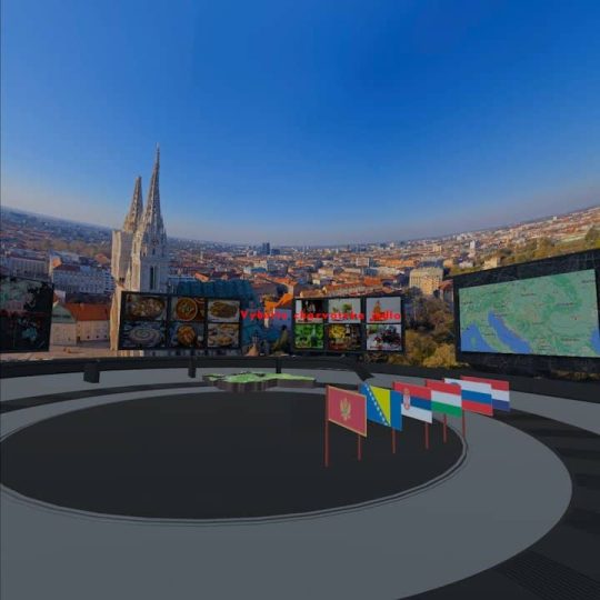
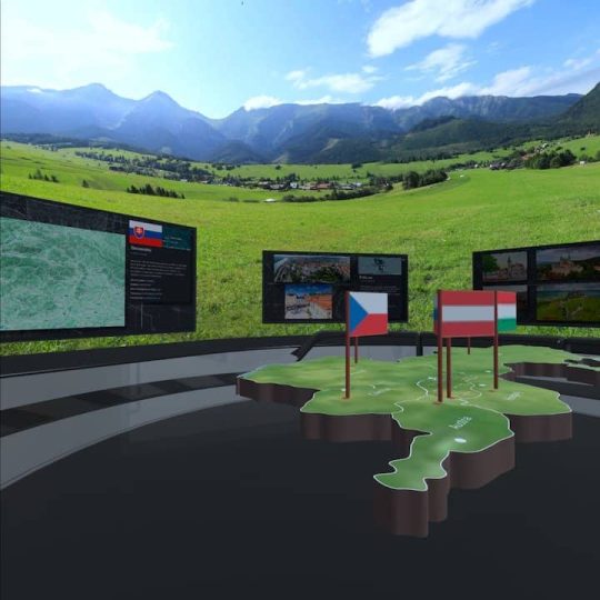
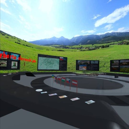
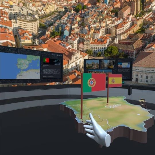
In each of the available topics within this application, the user can become familiar with the capital city, significant mountain ranges, the highest peak in the respective country, traditional dishes and beverages in geographical context, as well as the currency used. It even allows students to learn about the administrative divisions of countries and the borders with neighboring nations. Users have the opportunity to perform various tasks and gain geographic knowledge, ranging from European Union countries to continents around the world.
- Belgium (Kingdom of Belgium)
- Bulgaria (Republic of Bulgaria)
- Croatia (Republic of Croatia)
- Cyprus (Republic of Cyprus)
- Czech Republic
- Denmark (Kingdom of Denmark)
- Estonia (Republic of Estonia)
- Finland (Republic of Finland)
- France (French Republic)
- Greece (Hellenic Republic)
- Netherlands (Kingdom of the Netherlands)
- Ireland
- Lithuania (Republic of Lithuania)
- Latvia (Republic of Latvia)
- Luxembourg (Grand Duchy of Luxembourg)
- Hungary
- Malta (Republic of Malta)
- Germany (Federal Republic of Germany)
- Poland (Republic of Poland)
- Portugal (Portuguese Republic)
- Austria (Republic of Austria)
- Romania
- Slovakia (Slovak Republic)
- Slovenia (Republic of Slovenia)
- Spain (Kingdom of Spain)
- Sweden (Kingdom of Sweden)
- Italy (Italian Republic)
- Switzerland (Swiss Confederation)
- Russia (Russian Federation)
- China (People's Republic of China)
- Japan
- Israel (State of Israel)
- Canada
- USA (United States of America)
- United Kingdom (United Kingdom of Great Britain and Northern Ireland)
- Africa
- Europe
- Asia
- South America
- Australia and Oceania


